
Current TransAlpina road status: Open, with restrictions.
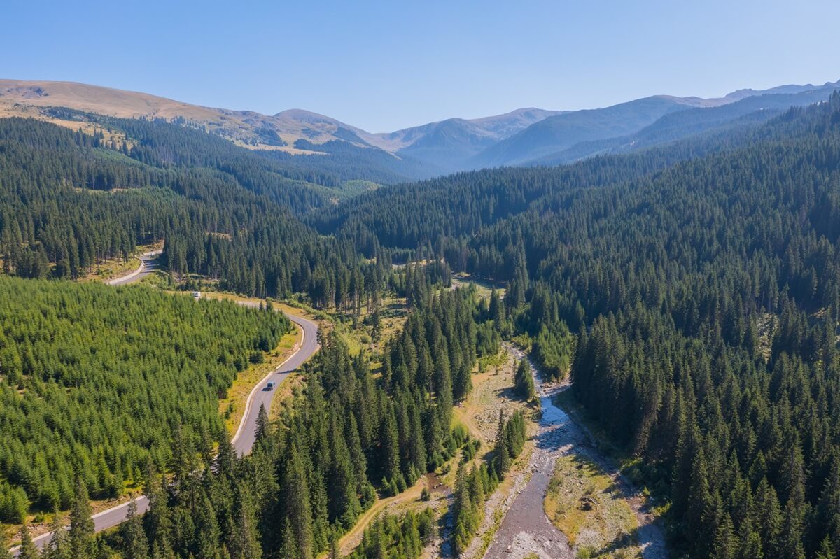
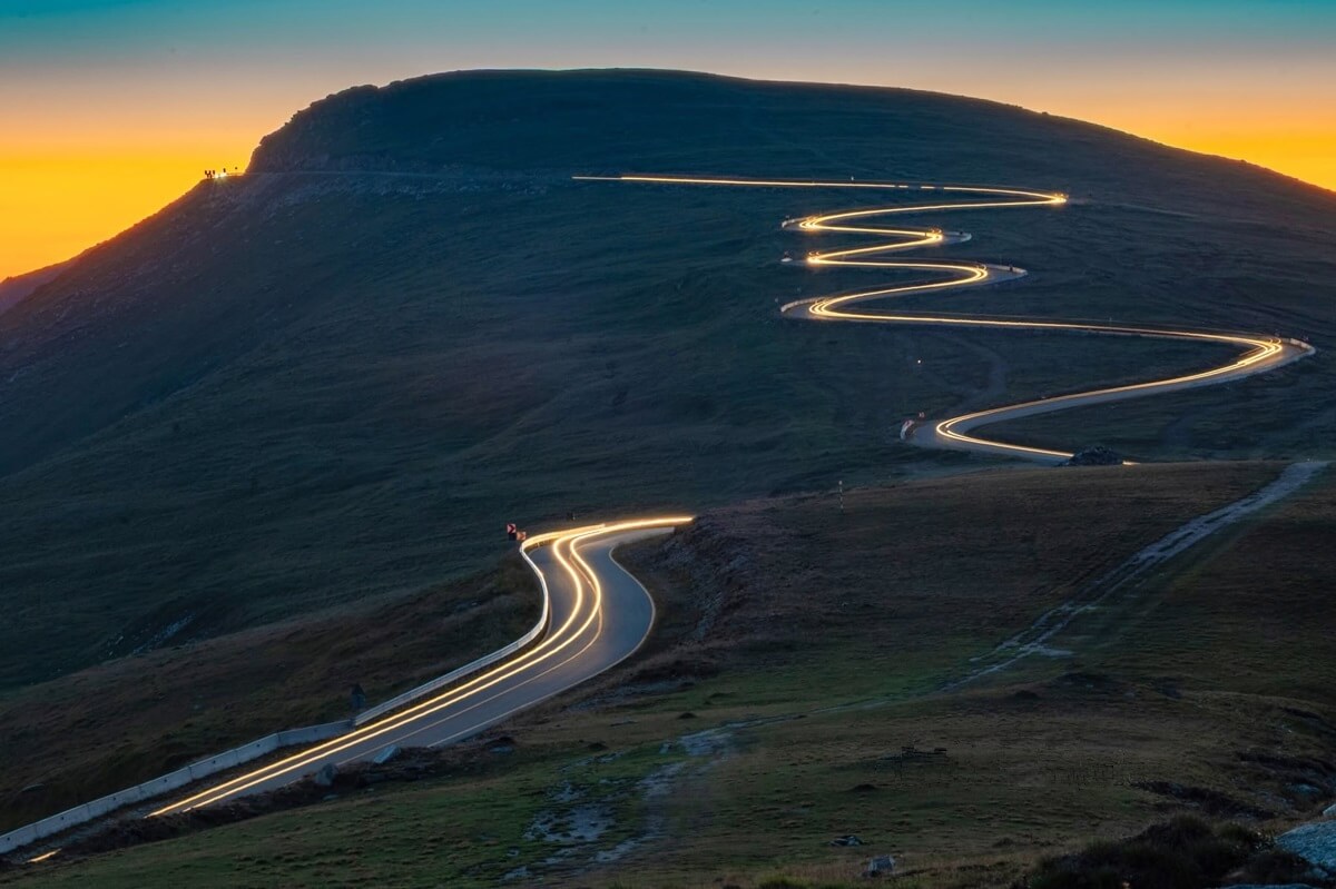
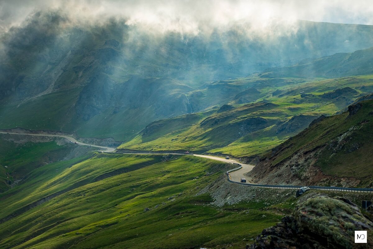
If adventure and Alpine scenery sound alluring, the TransAlpina road offers an ideal mix of the two. Winding its way through valleys and plateaus up to 7,038 feet – a height not reached by any other mountain passage in Romania – the TransAlpina road offers breathtaking views together with lots of driving excitement.
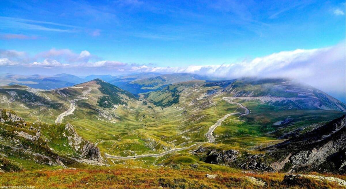
Arguably the oldest road over the Carpathian Mountains, TransAlpina was built at the beginning of the 2nd Century AD by the Roman legions during their war campaign to conquer Sarmizegetusa – the capital of Dacian Kingdom (modern-day Romania). After the conquest of Dacia, the Romans have used the TransAlpina to transport to Rome the gold extracted from the central part of Romania (Transylvania). At the beginning of the second millennium TransAlpina has become one of the main transhumance routes over the Carpathian Mountains; it still serves this purpose, even today. Paving of the road began in 1930 and eight years later King Carol II inaugurated the new TransAlpina (also named during the monarchy period "the The King's Road").
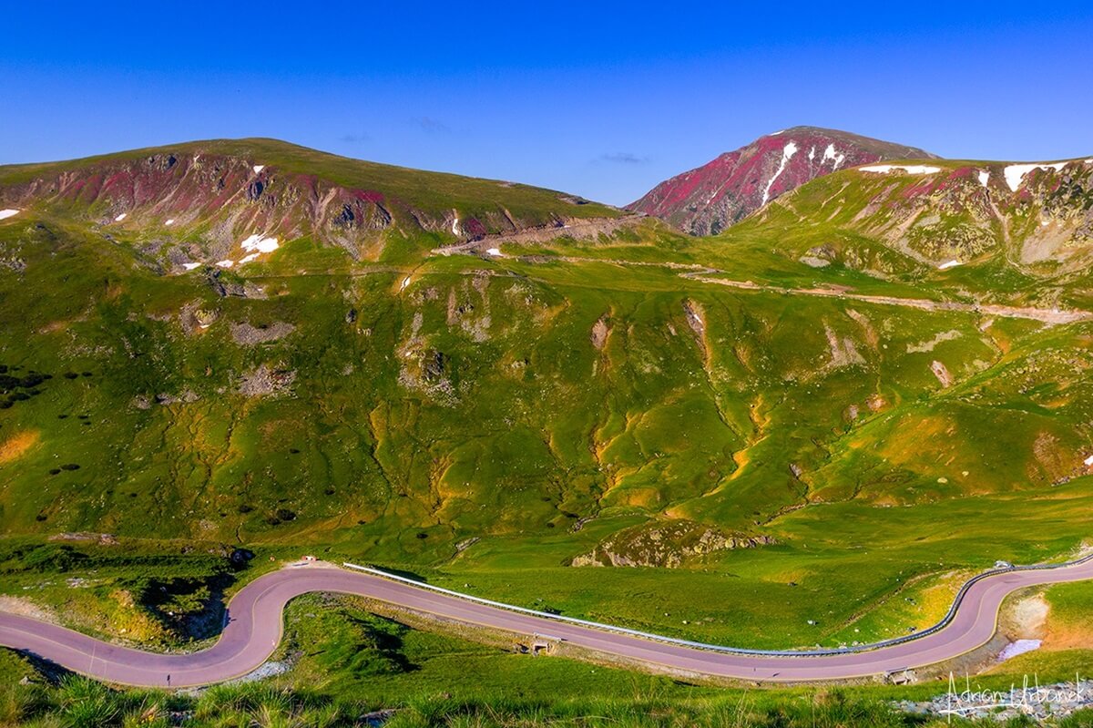
The TransAlpina ranges in elevation from 1,476 feet at Novaci to almost 7,040 feet at Pasul Urdele; it connects the regions Transylvania (central Romania) and Oltenia (southwestern Romania, western Walachia region or according to some old maps "TransAlpina").
...
TransAlpina Fast-Facts:
Begins: Saliste (Sibiu county) or Sugag (Alba county)
Ends: Novaci (Gorj county)
Distance: 87 miles (139 kilometers).
Road condition: paved, good
Highest point: 7,038 ft. (2145 m) - Urdele Pass
Route time: 2 hours and 45 minutes.
Gateway cities: Sibiu (14 miles E) of Saliste, Alba Iulia (27 miles N) and Deva (55 mile W) of Sugag,
Targu Jiu (28 miles SW), Ramnicu Valcea (52 miles E) of Novaci.
Open end-to-end: May through early November (weather permitting).
Transalpina is usually closed during winter
and it re-opens as soon as all snow has been removed from the road and there is no danger of avalanches.
Romania's Road Authority (CNAIR) announces the early re-opening 24 to 48 hours in advance.
...
TransAlpina re-opening / closing dates 2014 -- 2026:
| Year | Re-Opening date | Closing date |
|---|---|---|
| 2026* | May 29 | tentative date: November 1* |
| 2025 | June 6 | October 5 |
| 2024 | June 1 | November 8 |
| 2023 | June 16 | November 6 |
| 2022 | June 1 | November 17 |
| 2021 | June 16 | October 18 |
| 2020 | May 23 | October 20 |
| 2019 | June 6 | October 29 |
| 2018 | May 16 | October 20 |
| 2017 | May 26 | October 23 |
| 2016 | June 11 | November 1 |
| 2015 | May 16 | November 1 |
| 2014 | June 7 | October 23 |
...
...
Points of note along TransAlpina scenic drive:
Marginimea Sibiului Area (authentic villages),
Lake Oasa,
Cindrel nature park,
Lake Vidra,
Voineasa ski area,
Horezu Monastery (UNESCO) & pottery center.
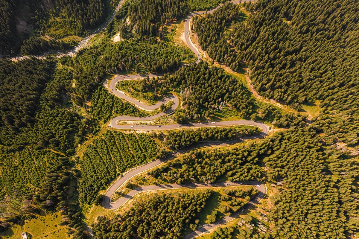
TransAlpina scenic route
map
(Google Maps will automatically show the alternative route when TransAlpina is closed)
Other Carpathian Mountains Scenic Drives:
TransFagarasan
TransBucegi